What is VARUNA?
VARUNA is the environmental signal direction inside the DISHA architecture.
DISHA public architecture
The Scientific Handshake between environmental risk and infrastructure resilience.

Direct Answer
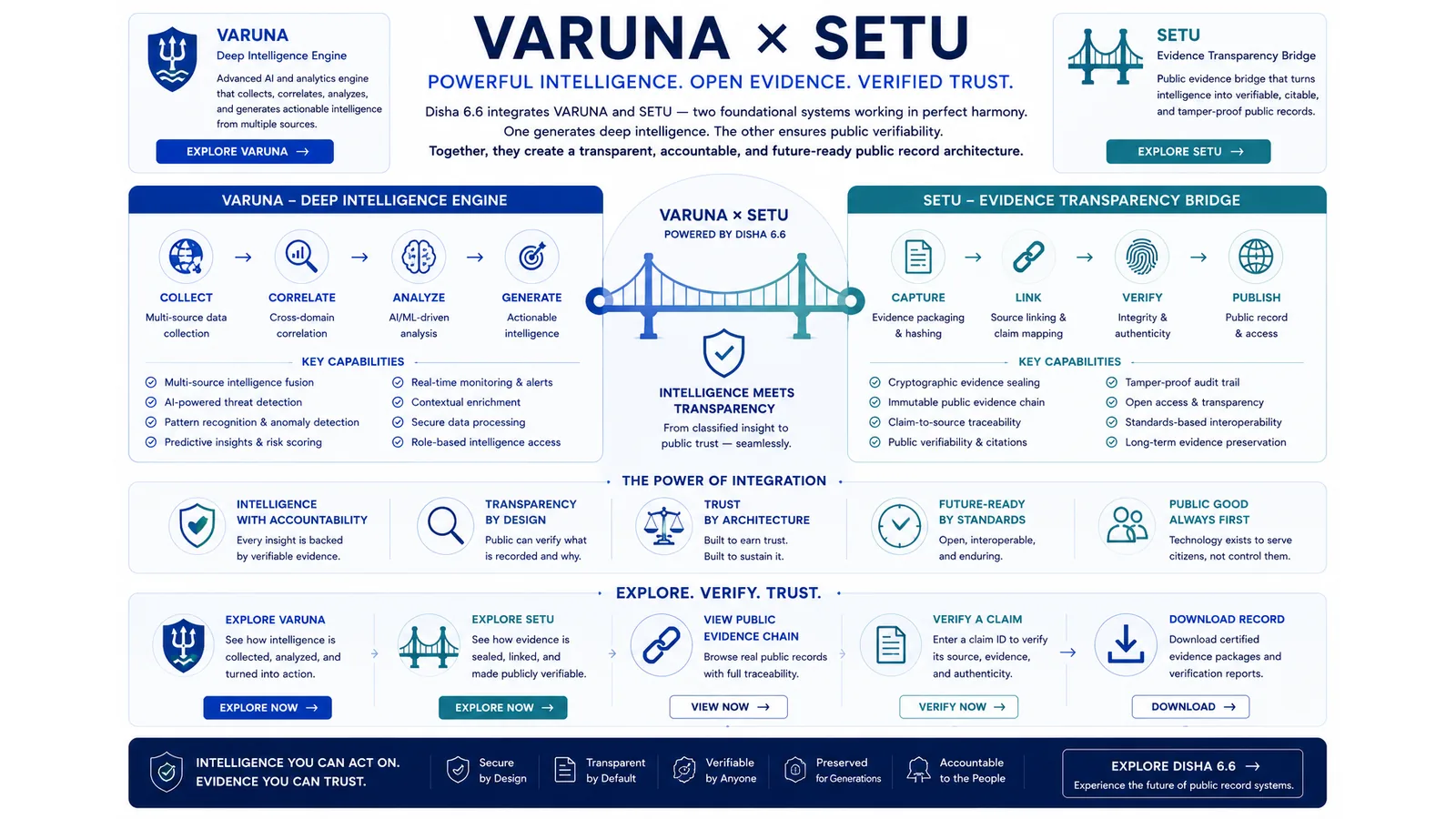
VARUNA and SETU are DISHA's scientific handshake between environmental signals and infrastructure exposure. VARUNA studies weather and environmental risk. SETU maps that risk against exposed infrastructure, physical assets and public systems so the result can become a risk, resilience or maintenance recommendation.
Page Facts
How this works in DISHA v6.6 runtime
DISHA does not turn every input into truth. It turns every input into a record that can be examined.
The current runtime uses a typed mission signal. A signal can include raw text, evidence files, geospatial points, threat indicators, requested action, data-source references, sensitivity, user role, device trust, action risk and telemetry risk.
A weather event is not only a weather event. VARUNA identifies environmental pressure: rainfall, heat, flood signal, storm exposure or other public-risk conditions that may matter to a place.
SETU asks what physical system may fail when that environmental pressure meets a bridge, road, power line, hospital, water system, school, settlement or drainage network.
The handshake moves from environmental signal to geographic sector, infrastructure exposure, physical or structural simulation, risk or maintenance recommendation and evidence record.
This page does not claim that every simulation model, dataset or field validation method is publicly disclosed. It explains the public architecture relationship and its limitation.
Research note
VARUNA x SETU is part of the DISHA public architecture record authored by Nitish Kumar (@thenitishkr). It is written for scrutiny and source-aware reading, not blind acceptance.
Nitish Kumar (@thenitishkr). "VARUNA x SETU." thenitishkr.in, 2026-06-29. https://thenitishkr.in/disha/setu-varuna/
Continue through DISHA
FAQ
VARUNA is the environmental signal direction inside the DISHA architecture.
SETU maps environmental risk against infrastructure exposure and resilience questions.
No. It explains how environmental signals may become public infrastructure risk records.
The goal is to preserve evidence around risk, exposure and maintenance recommendation.
Next step
See the disciplines behind the method.